


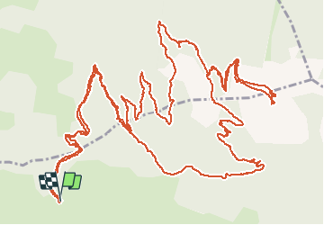

7,4 km | 16,7 km-effort

Utilisateur


Application GPS de randonnée GRATUITE
 SityTrail
IGN / Instituts géographiques
SityTrail World
Le monde est à vous
Randonnée Marche de 13 km à découvrir à Provence-Alpes-Côte d'Azur, Hautes-Alpes, Les Orres. Cette randonnée est proposée par guariso.
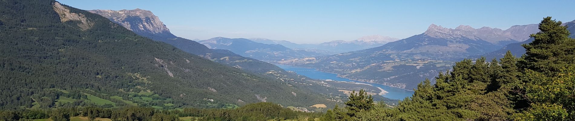
rando très belle, on peut se garer plus haut sur le parking (voir photo). début sur chemin forestier puis petit chemin qui monte doucement tout le temps.
un régal pour les paysages.


Autre activité

Marche

Marche

Marche

V.T.T.

Marche

Marche

Marche

Marche